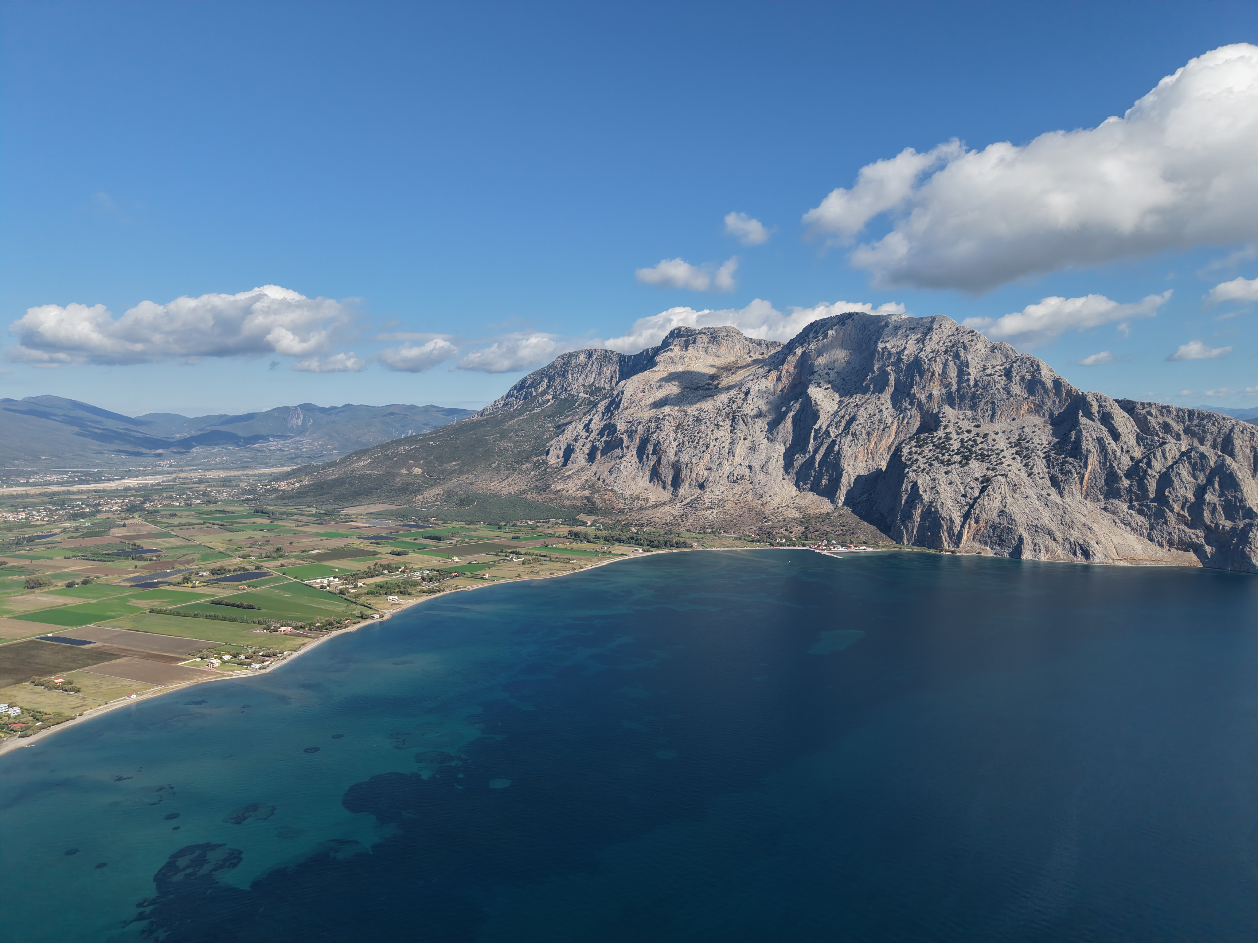
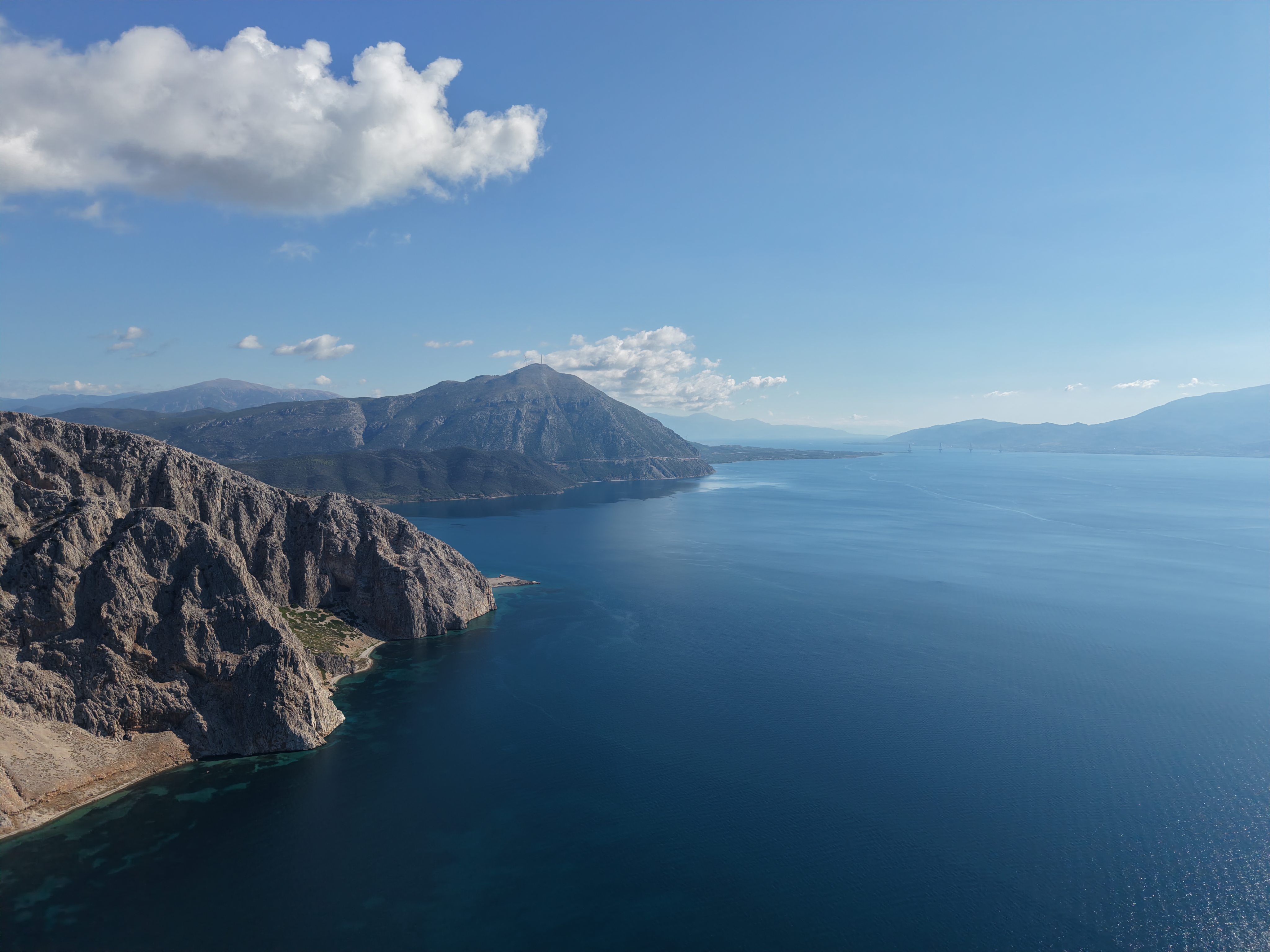
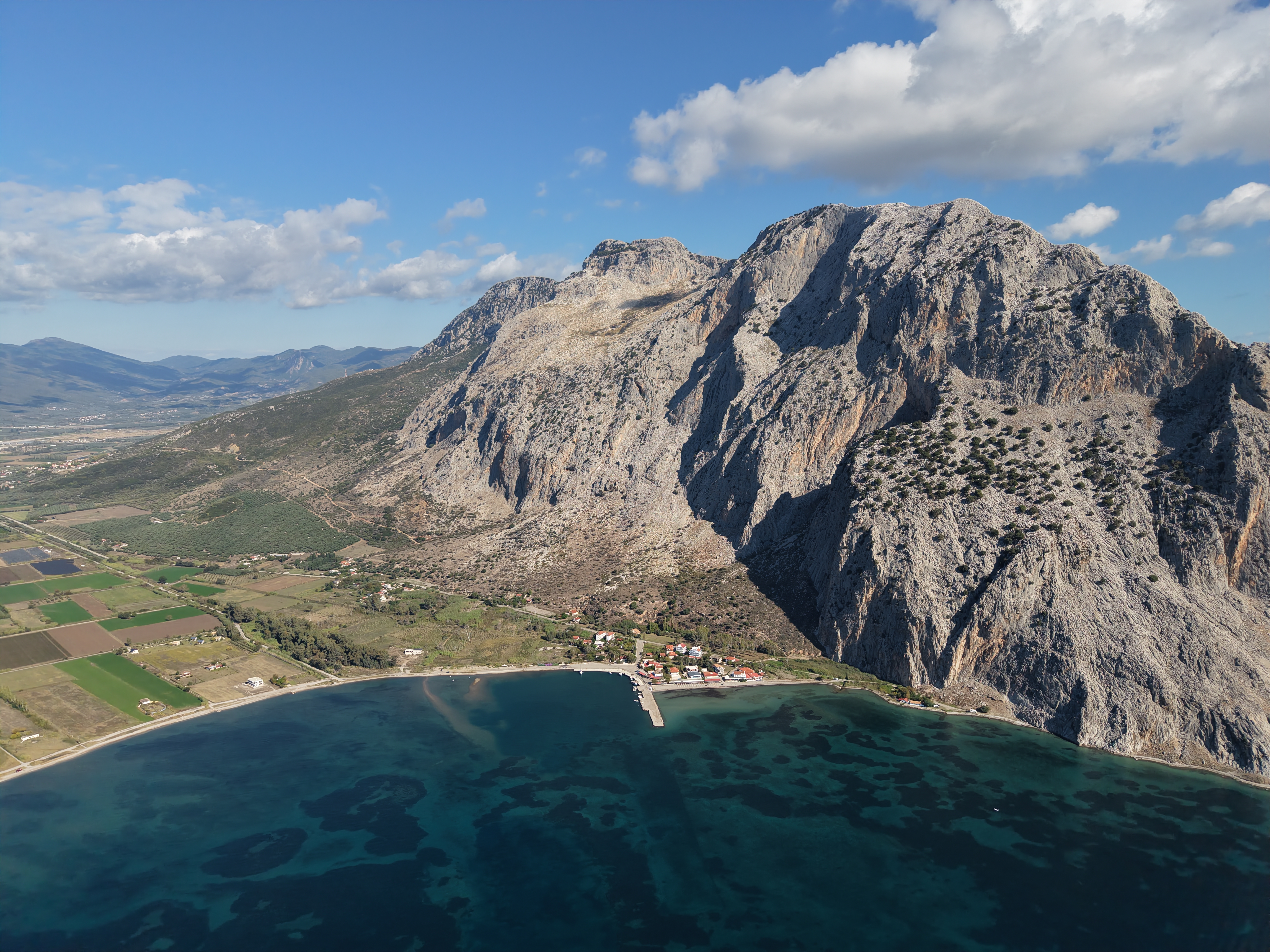
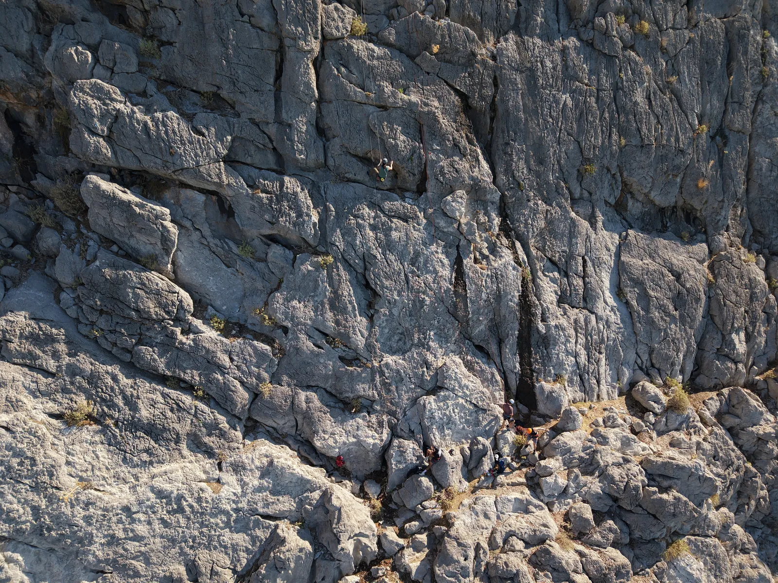
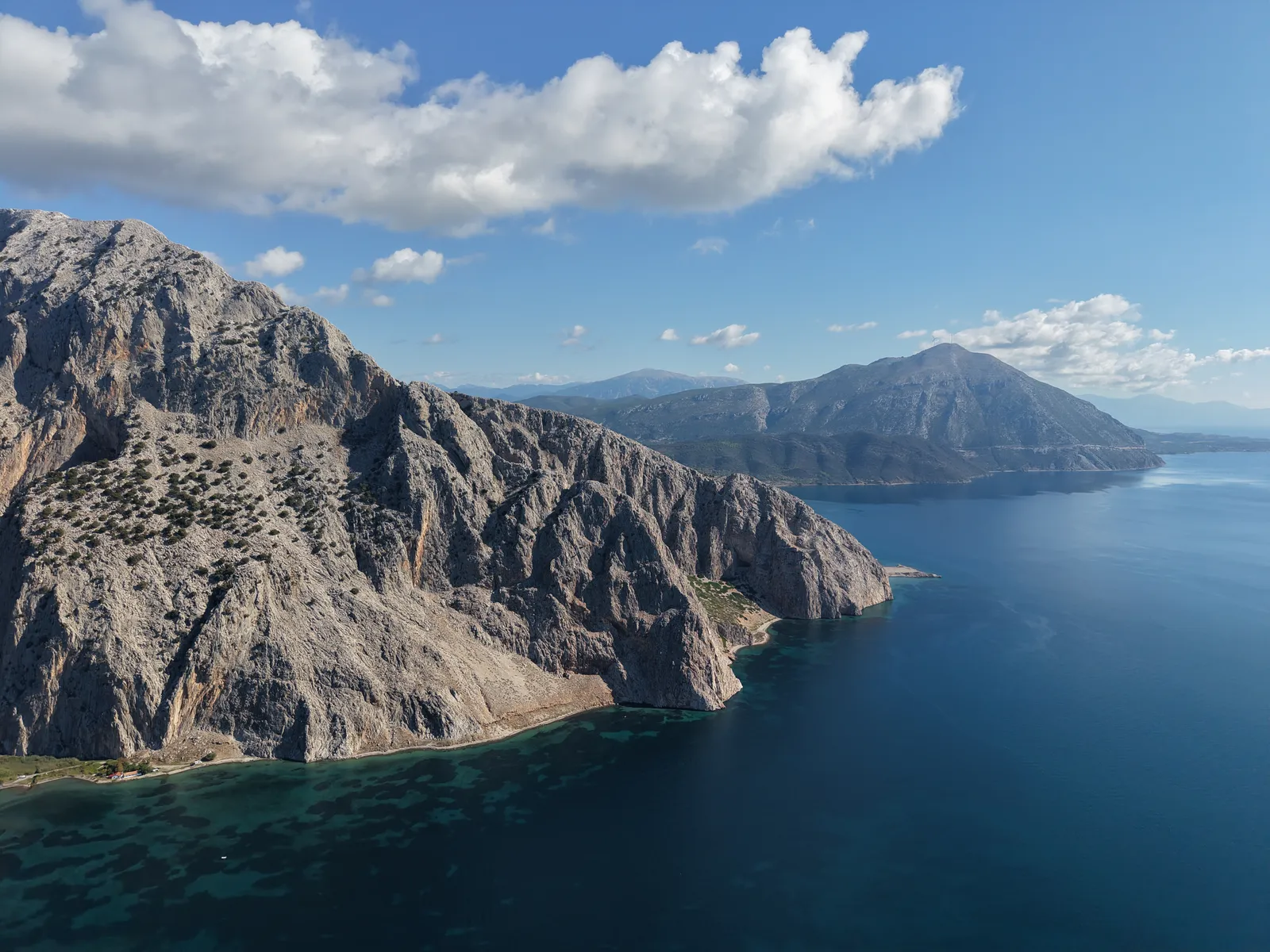
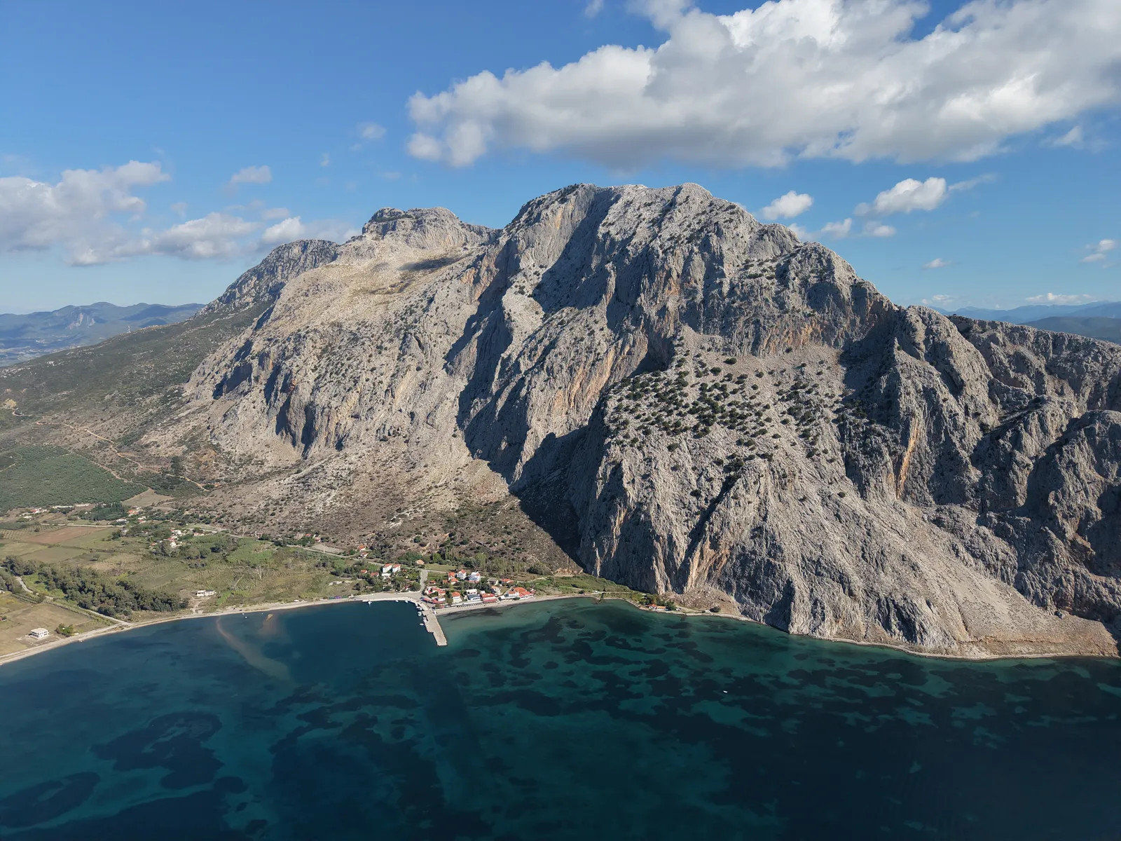
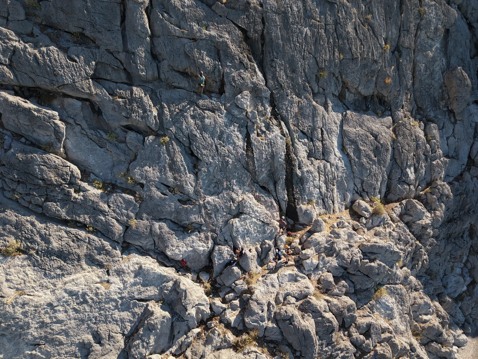
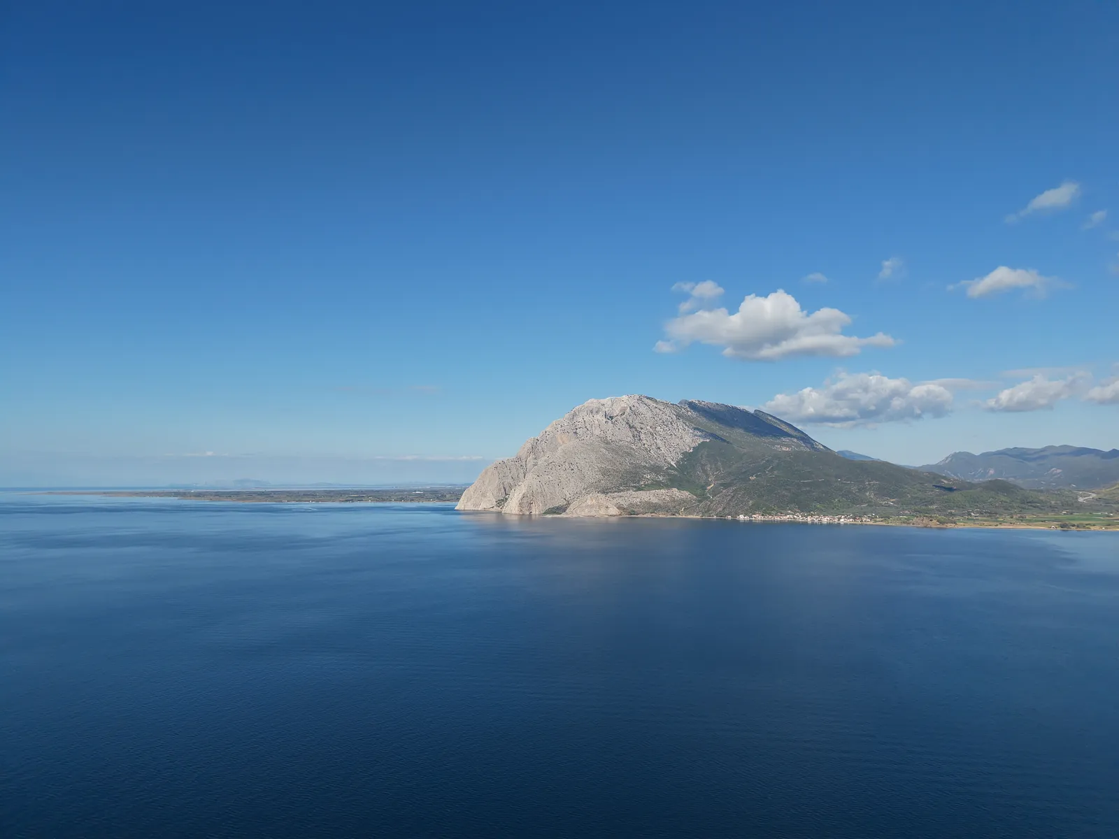
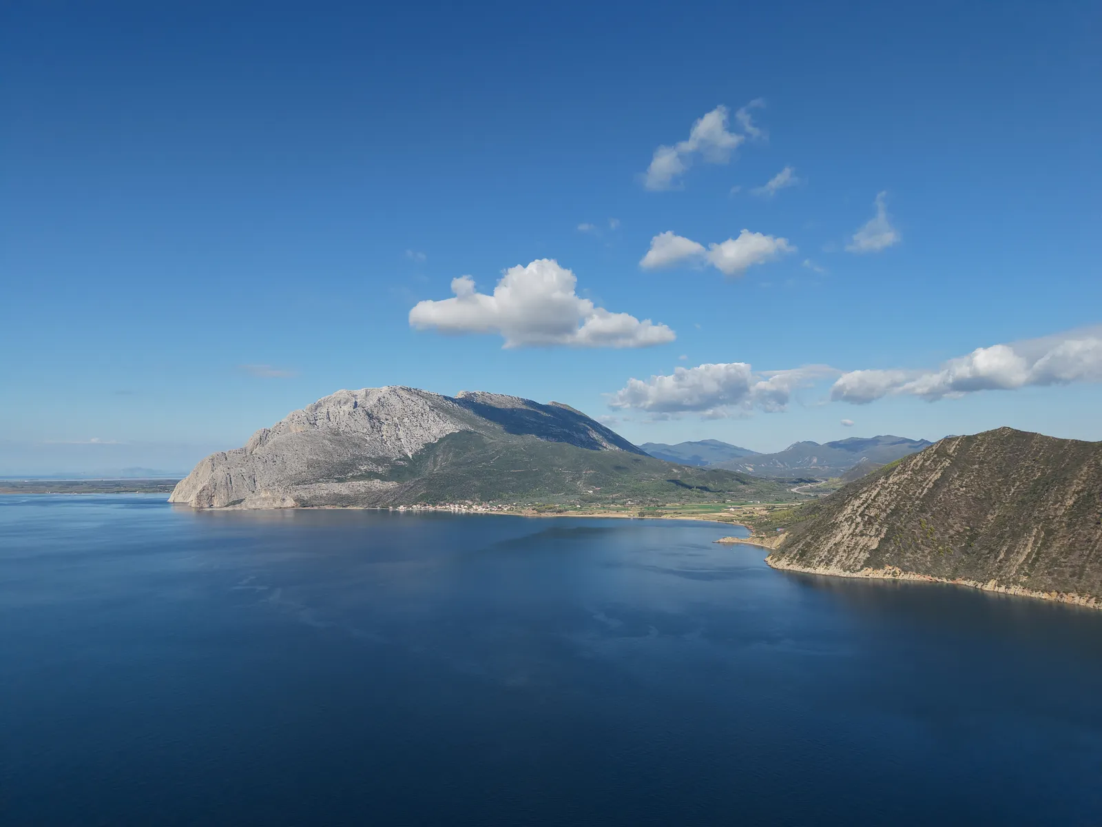
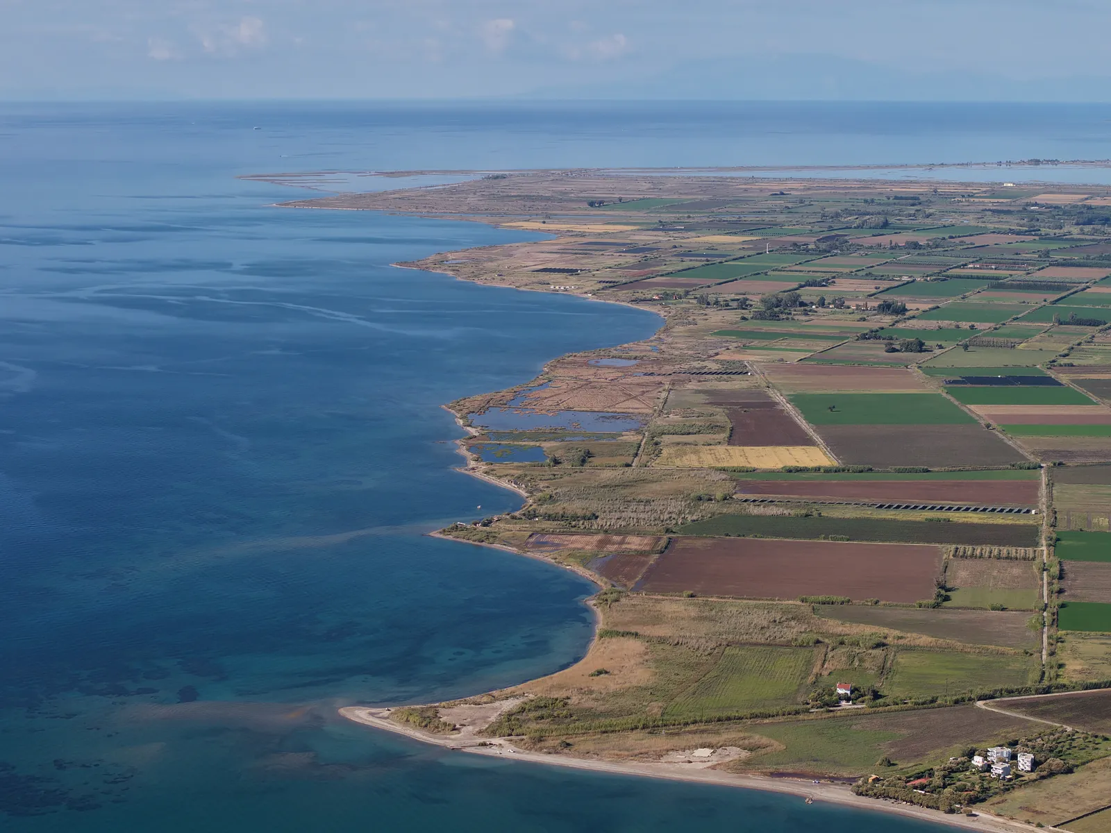
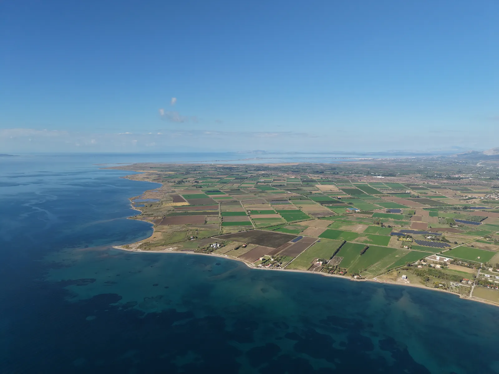
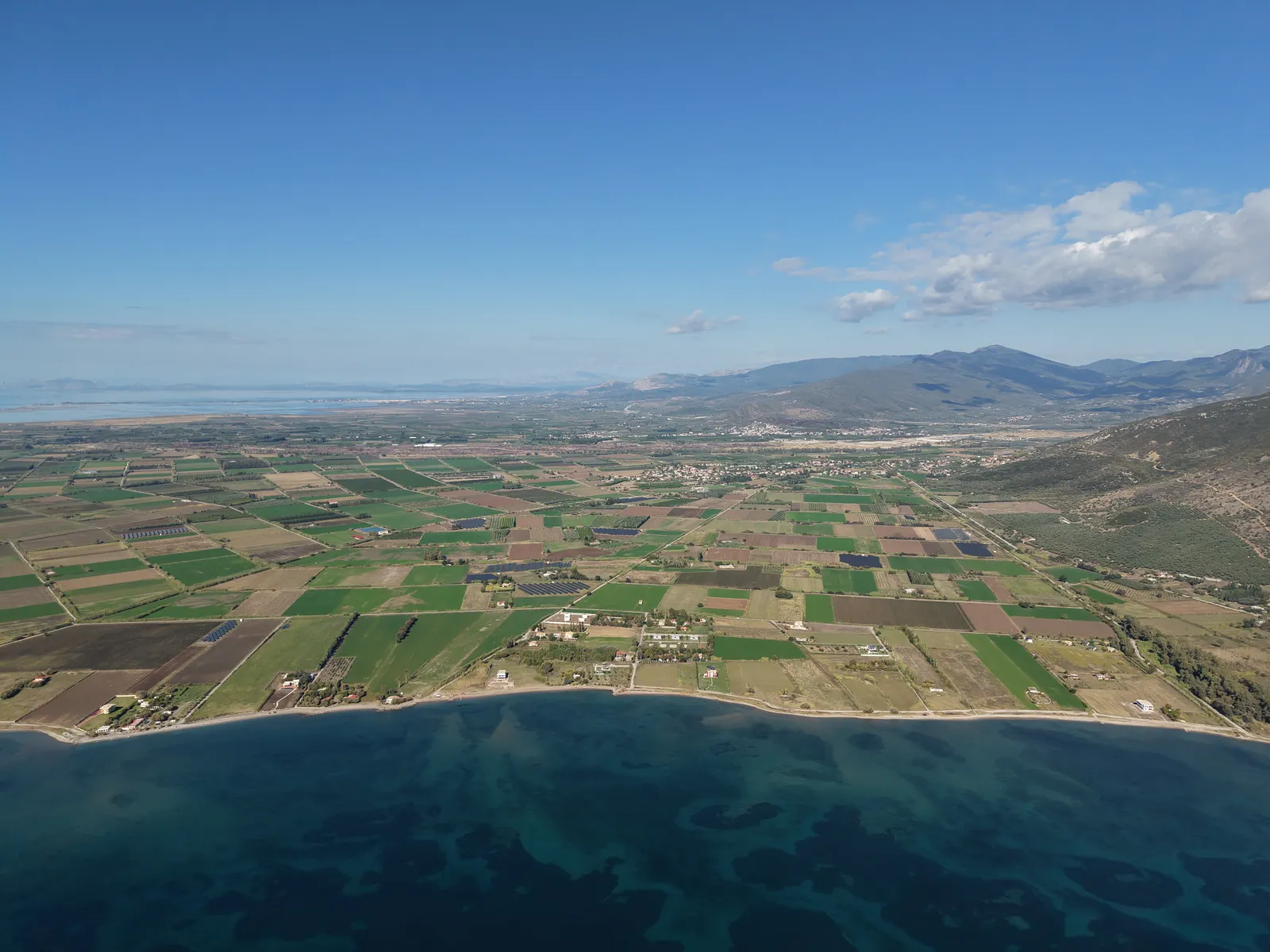
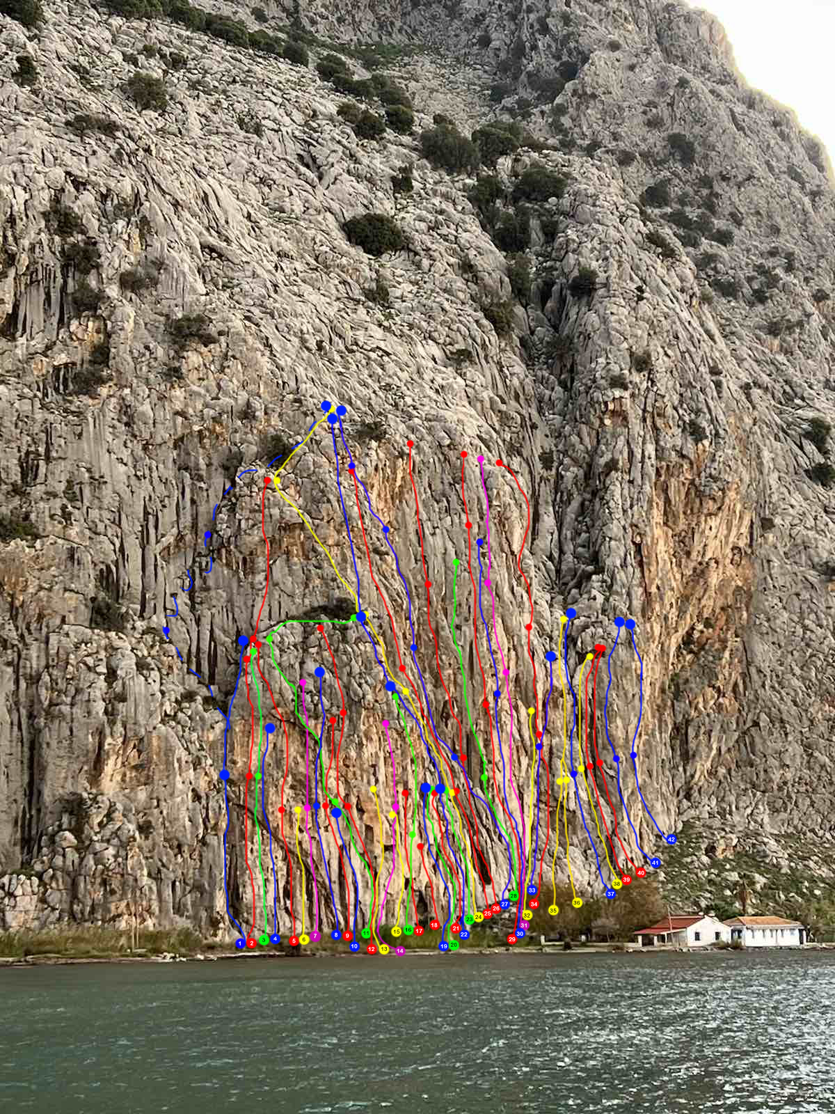
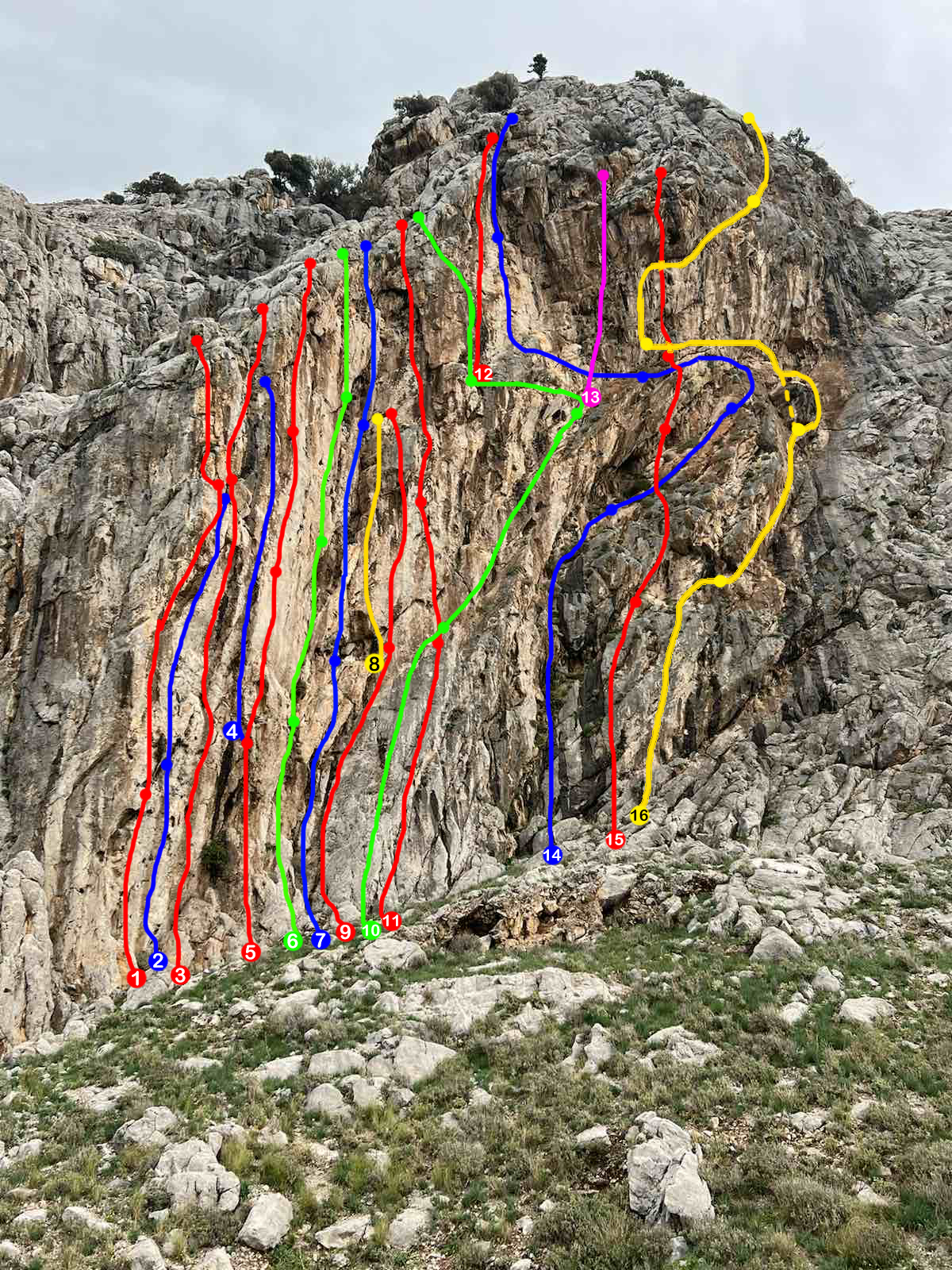
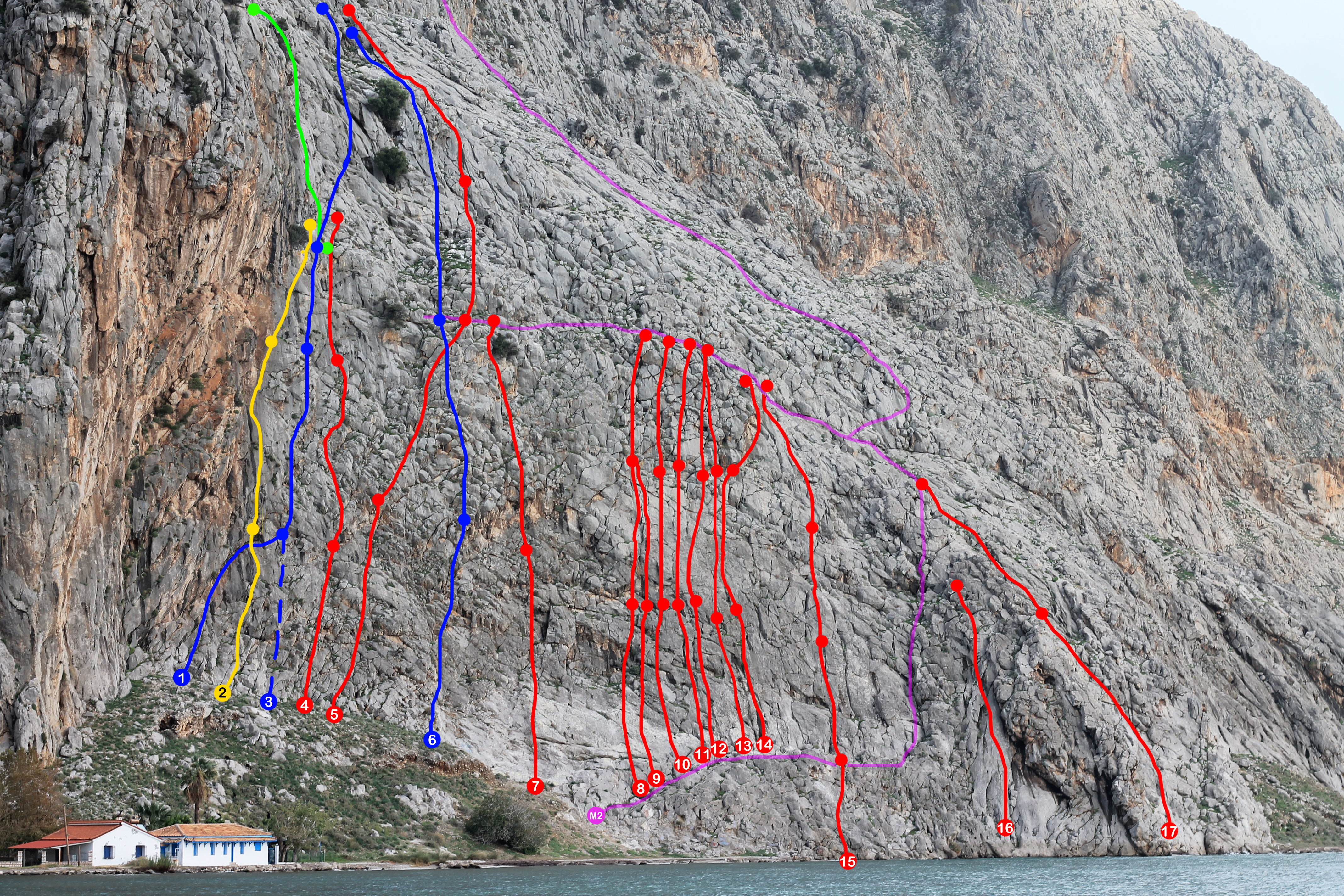
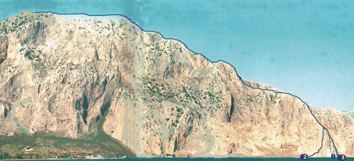
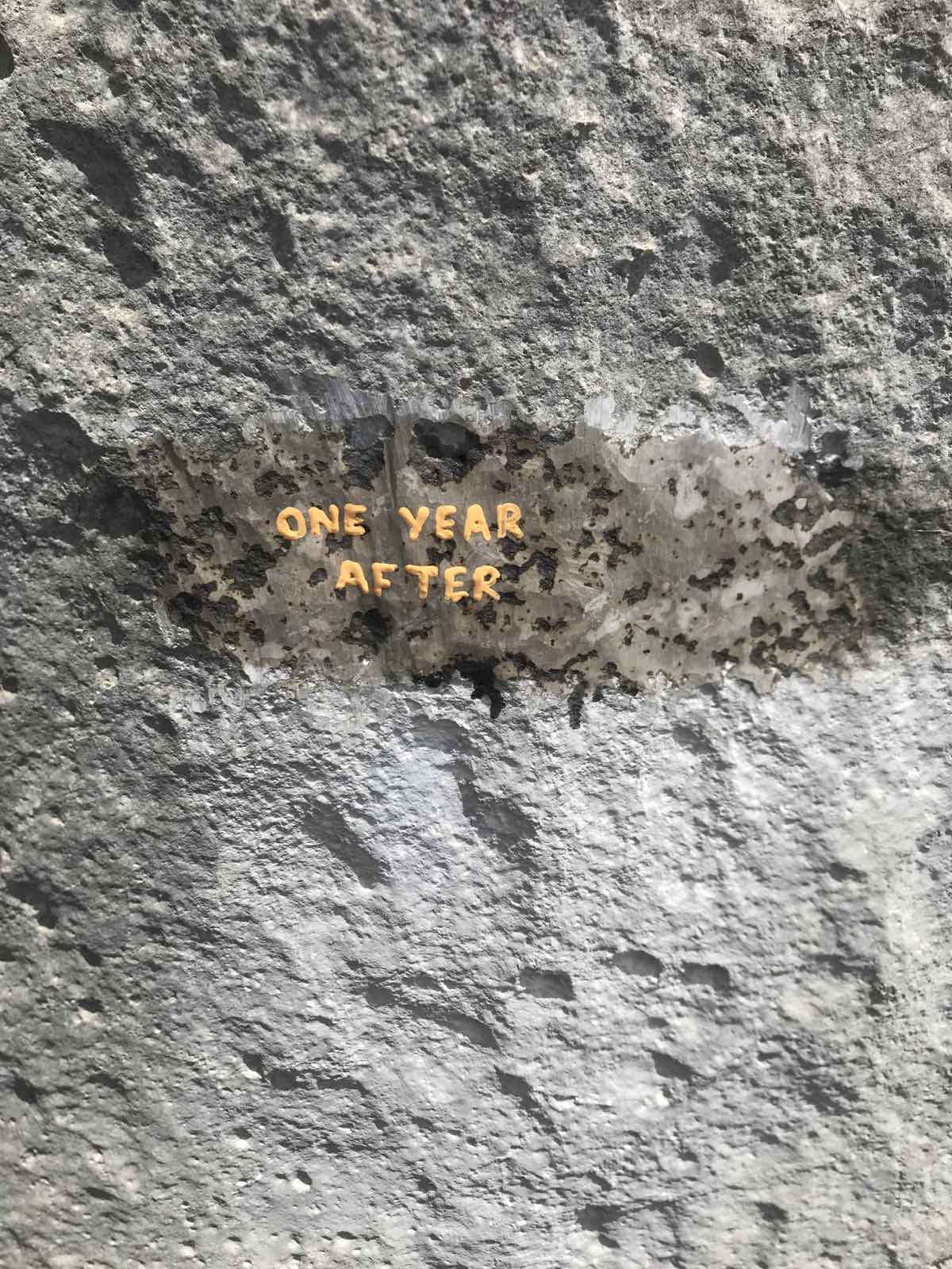
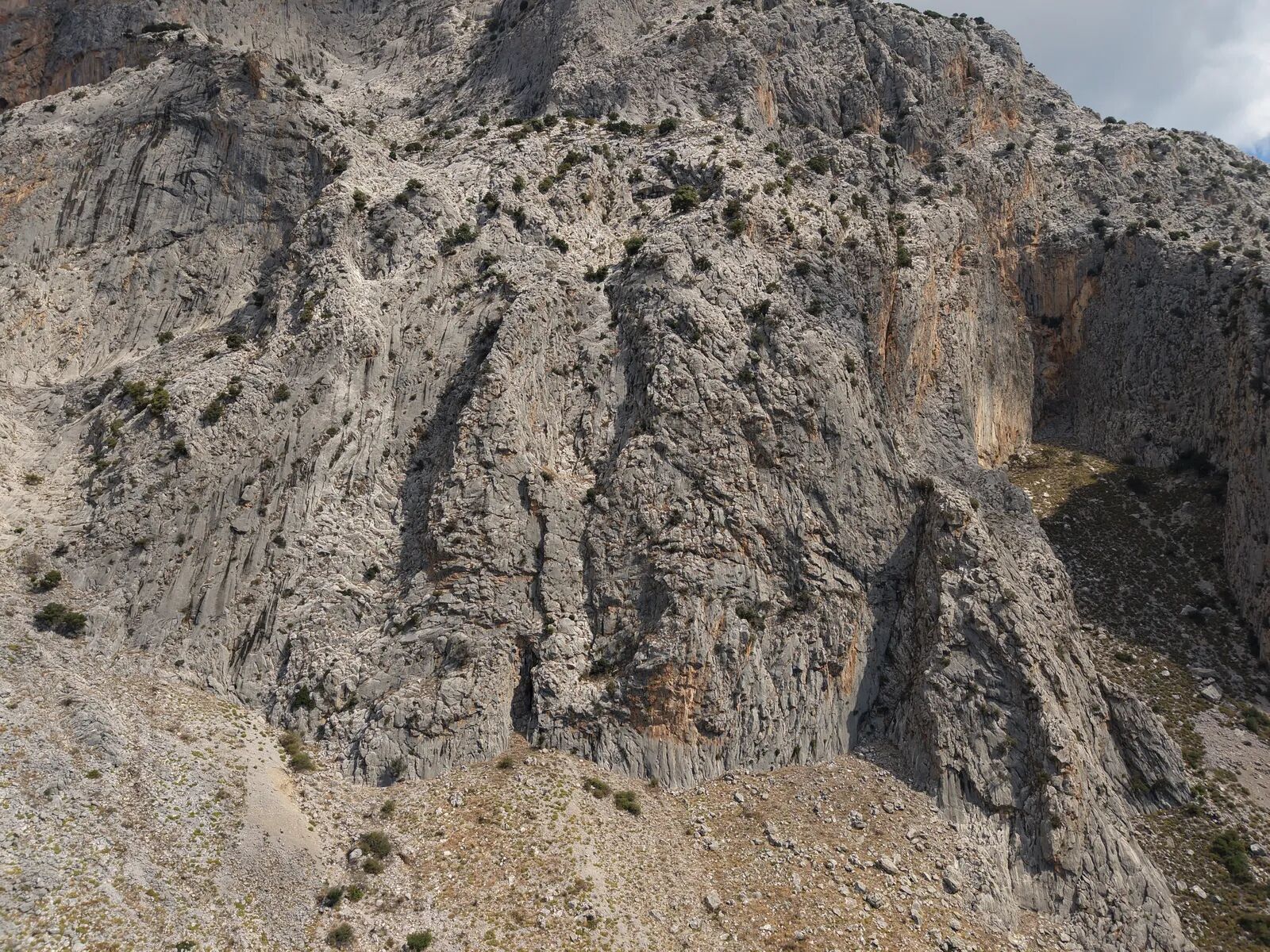
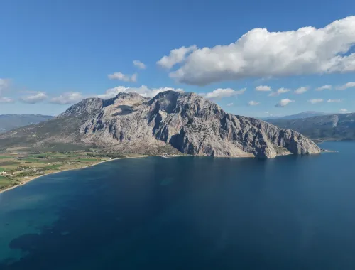
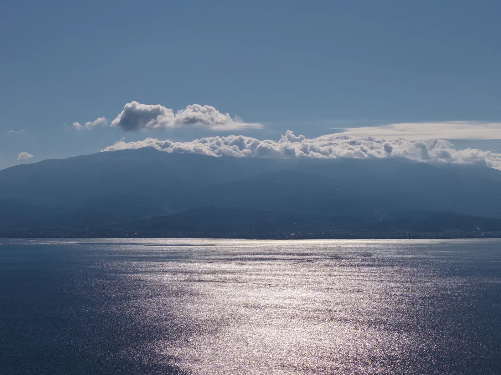
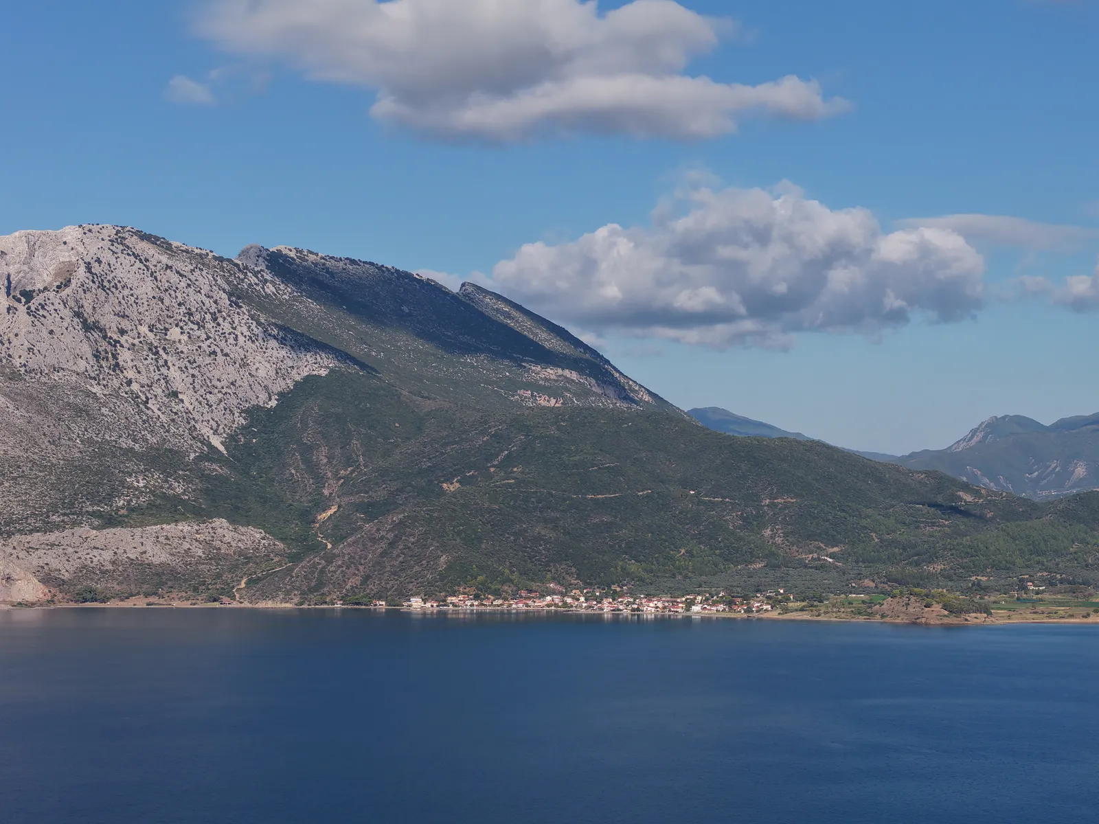
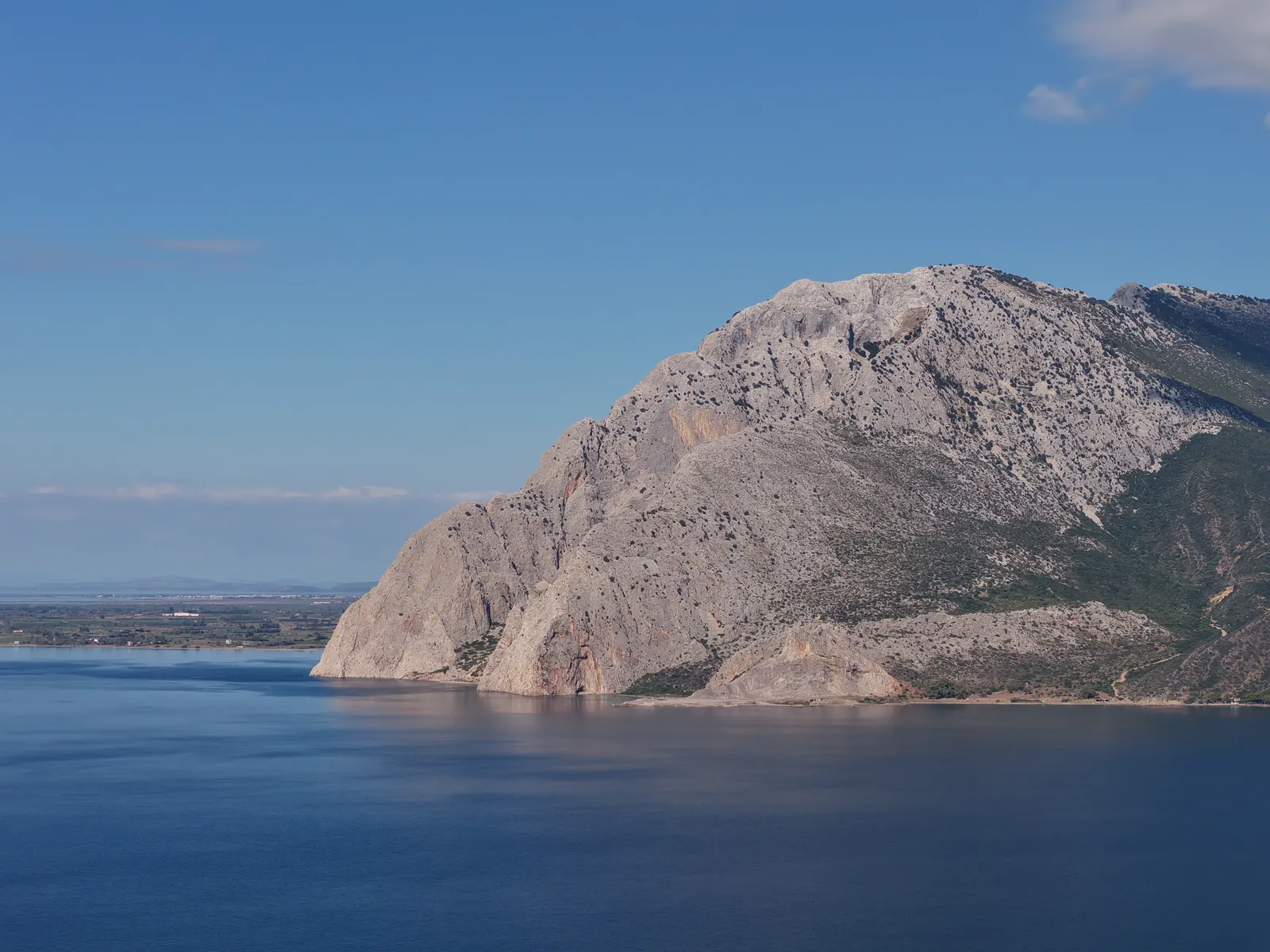
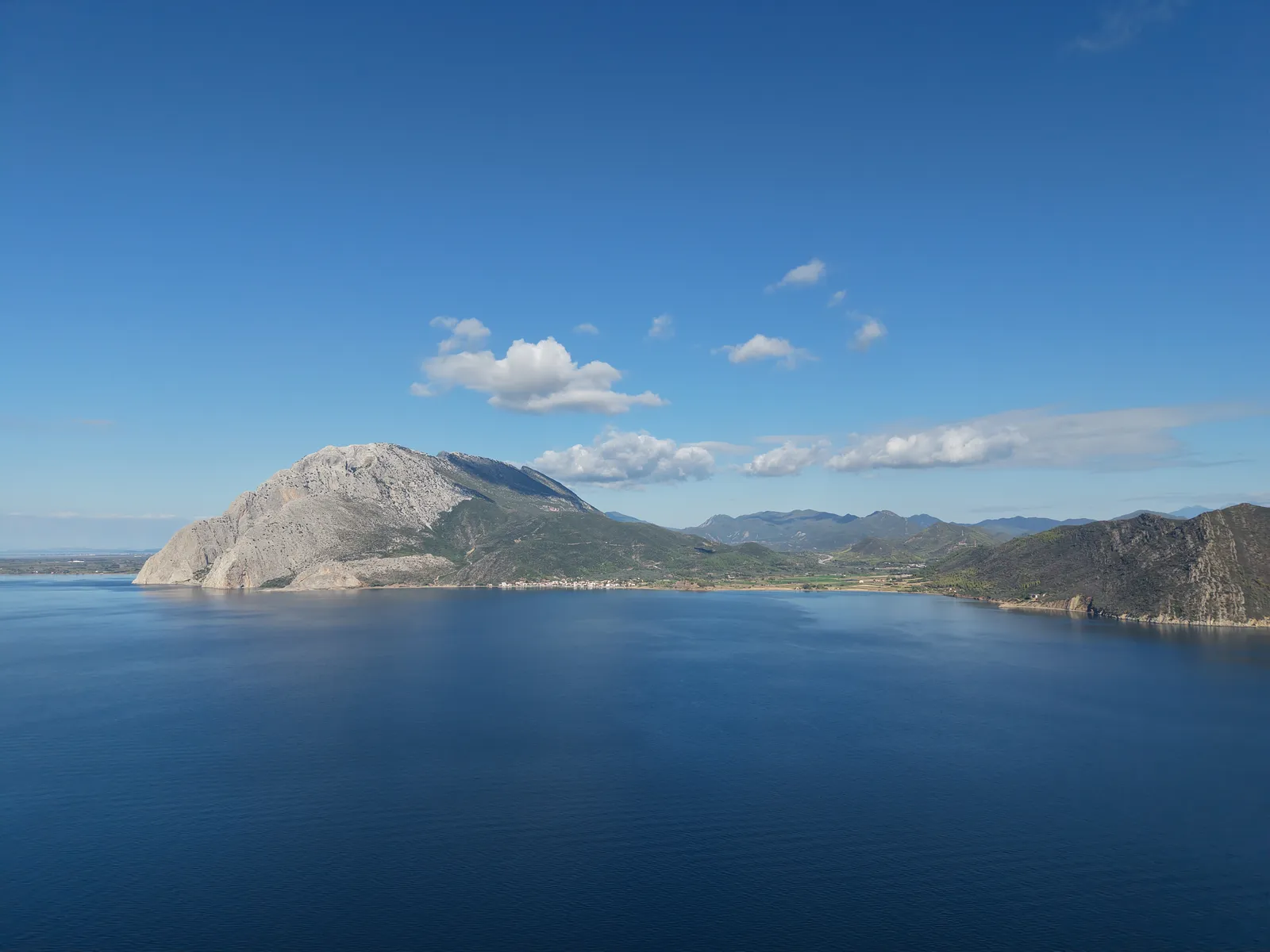
The climbing field of Varasova is located on the western side of the mountain of the same name, within the Municipality of Nafpaktia. Mount Varasova, with its peak “Sfyri” rising to 917 meters, forms the end of the Arakynthos mountain range and raises its compact limestone mass at the southeastern edge of the Mesolongi–Aetoliko Lagoons National Park, east of the Evinos River.
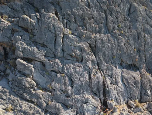
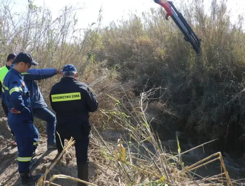
In its southern and southeastern parts, the mountain is characterized by bare, almost vertical limestone cliffs with sparse chasmophytic vegetation, descending steeply to the coast near the villages of Kryoneri and Kato Vasiliki. In the caves of Varasova (known in antiquity as Mount Chalkis), traces of prehistoric life dating back to 3000 BC have been discovered, as well as archaeological remains from the 4th century BC. It is also considered the “Holy Mountain” of Western Greece, as it was an important monastic center during the Byzantine era, with numerous hermit caves, among which stands out the rock-sheltered Cave-Hermitage of Saint Nicholas, located on the eastern side of the southern steep gorge of the mountain, today accessible only by sea.
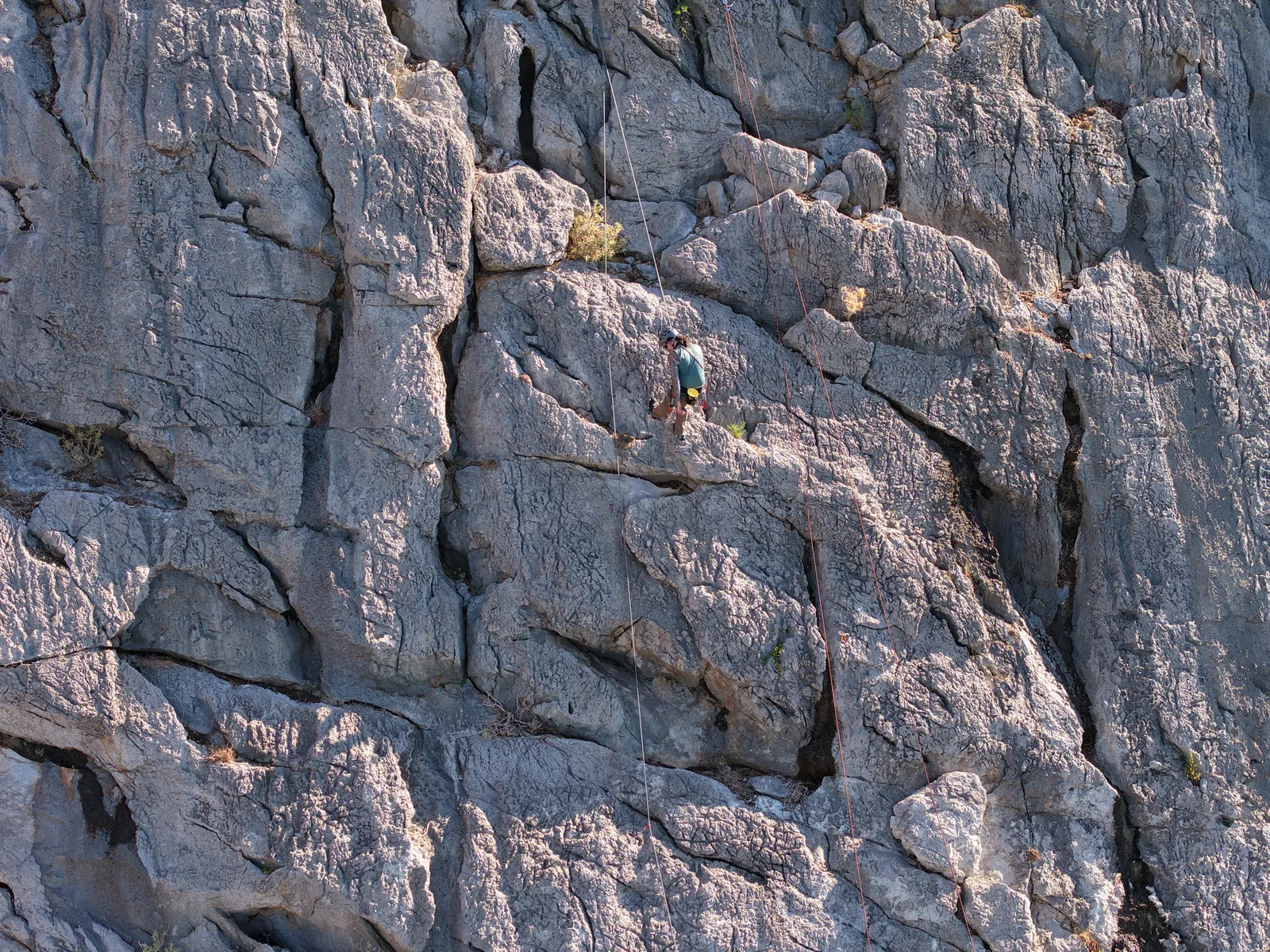
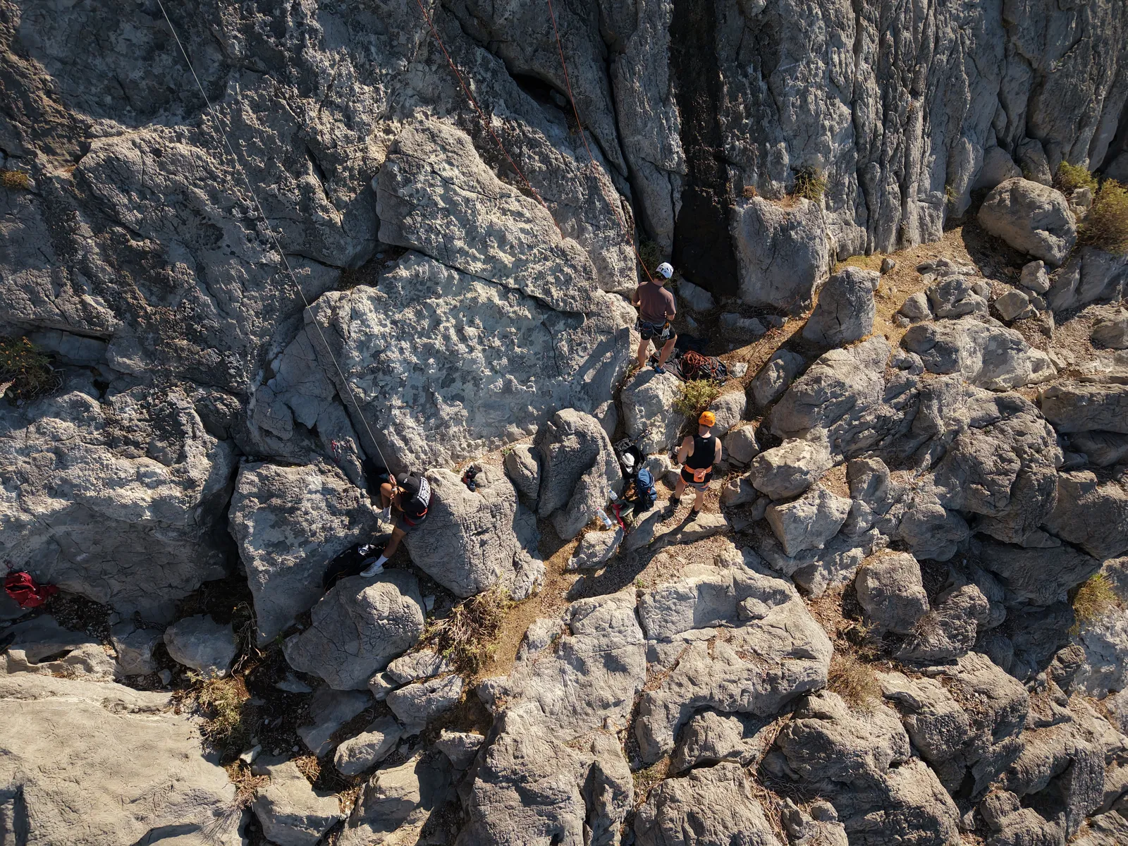
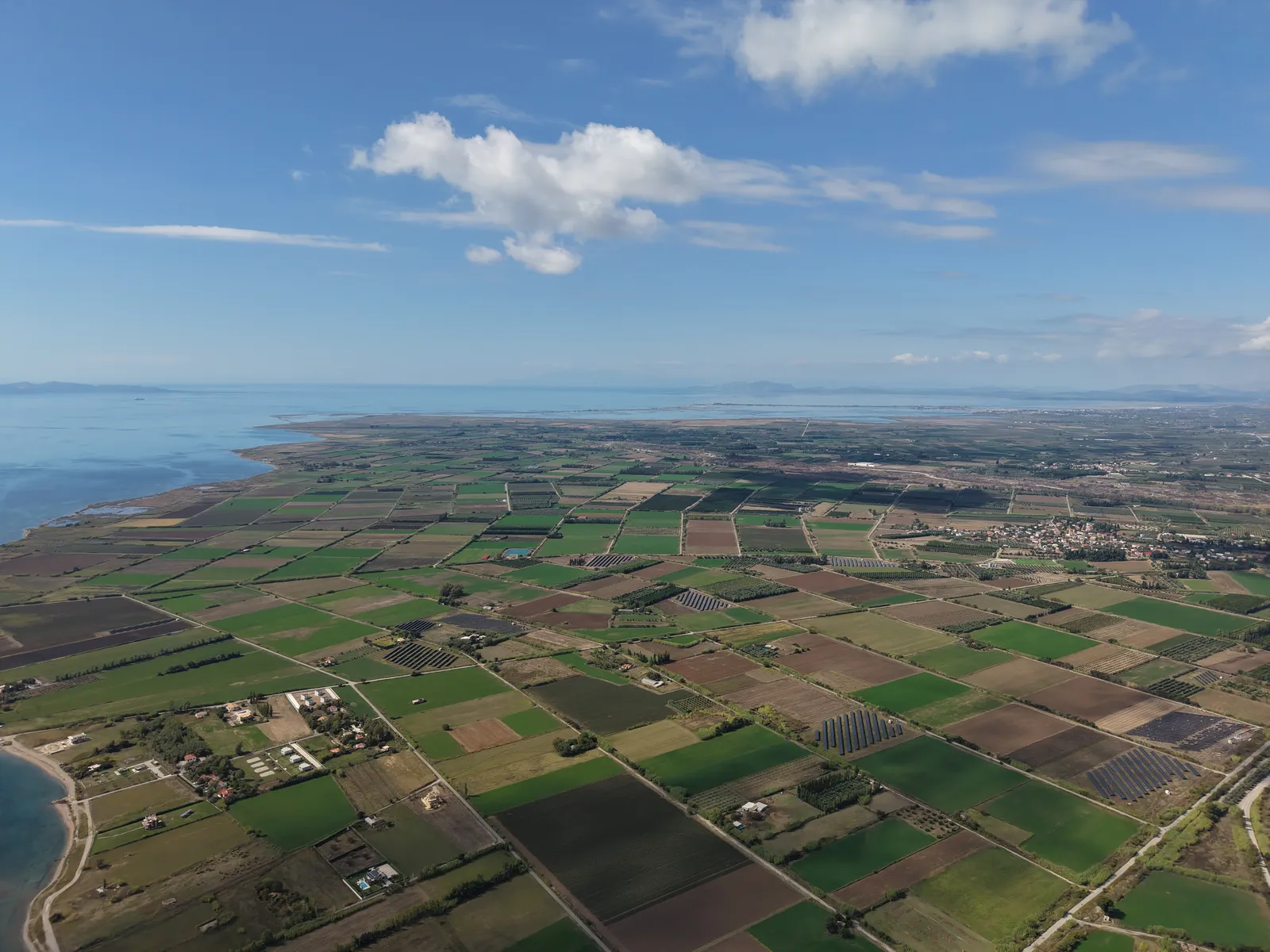
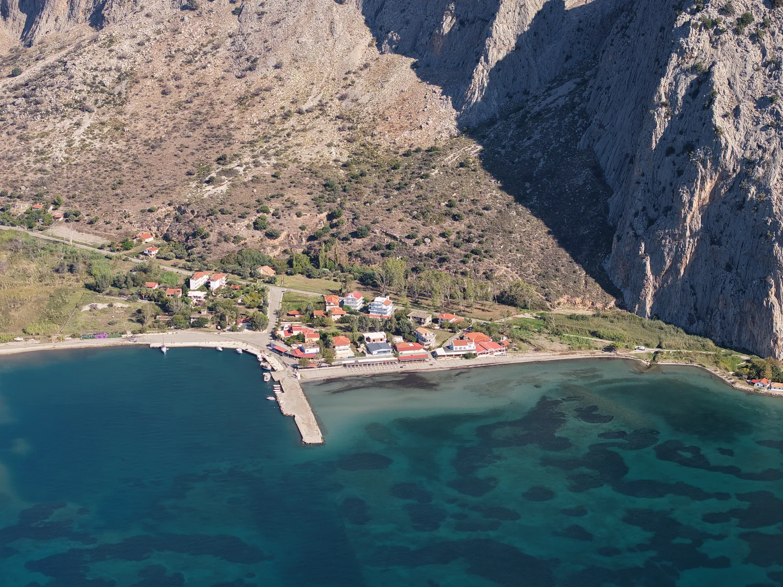
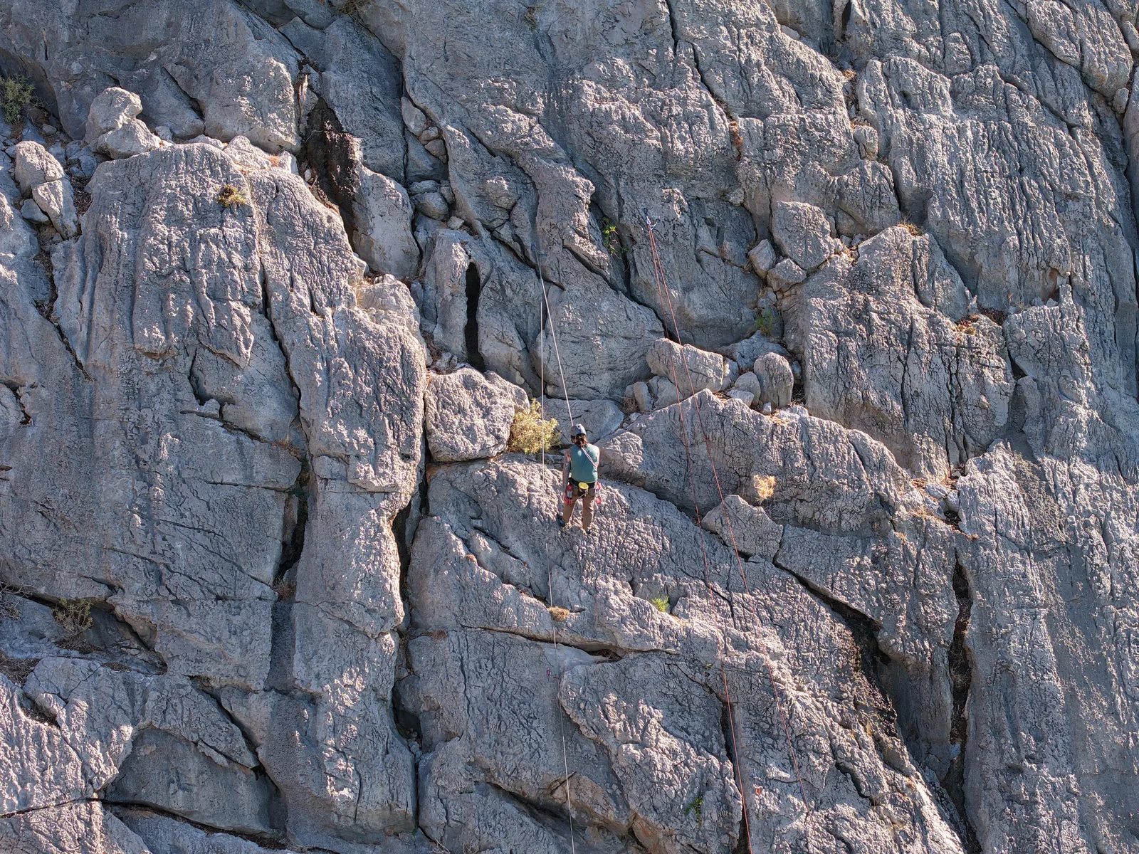
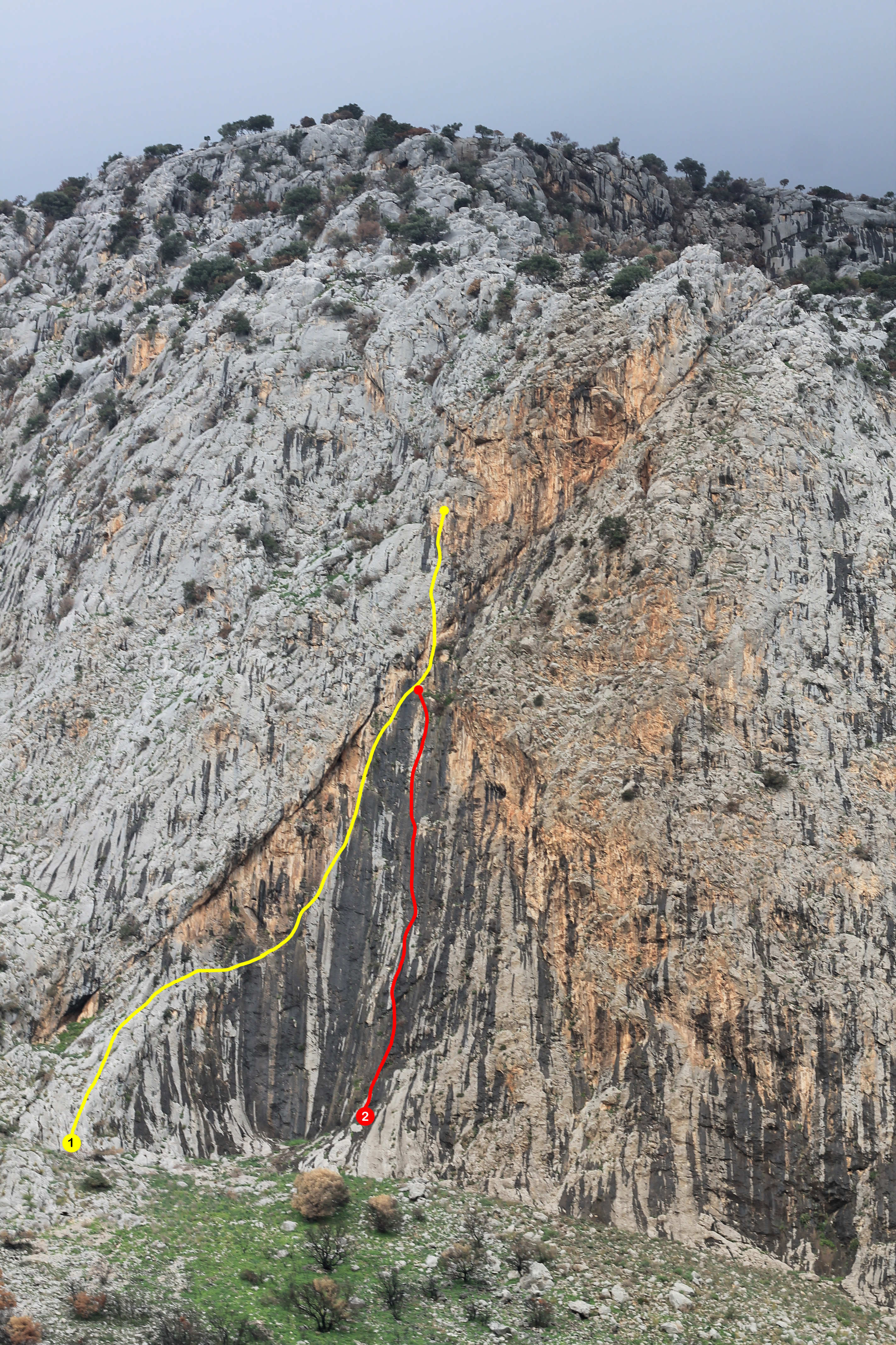
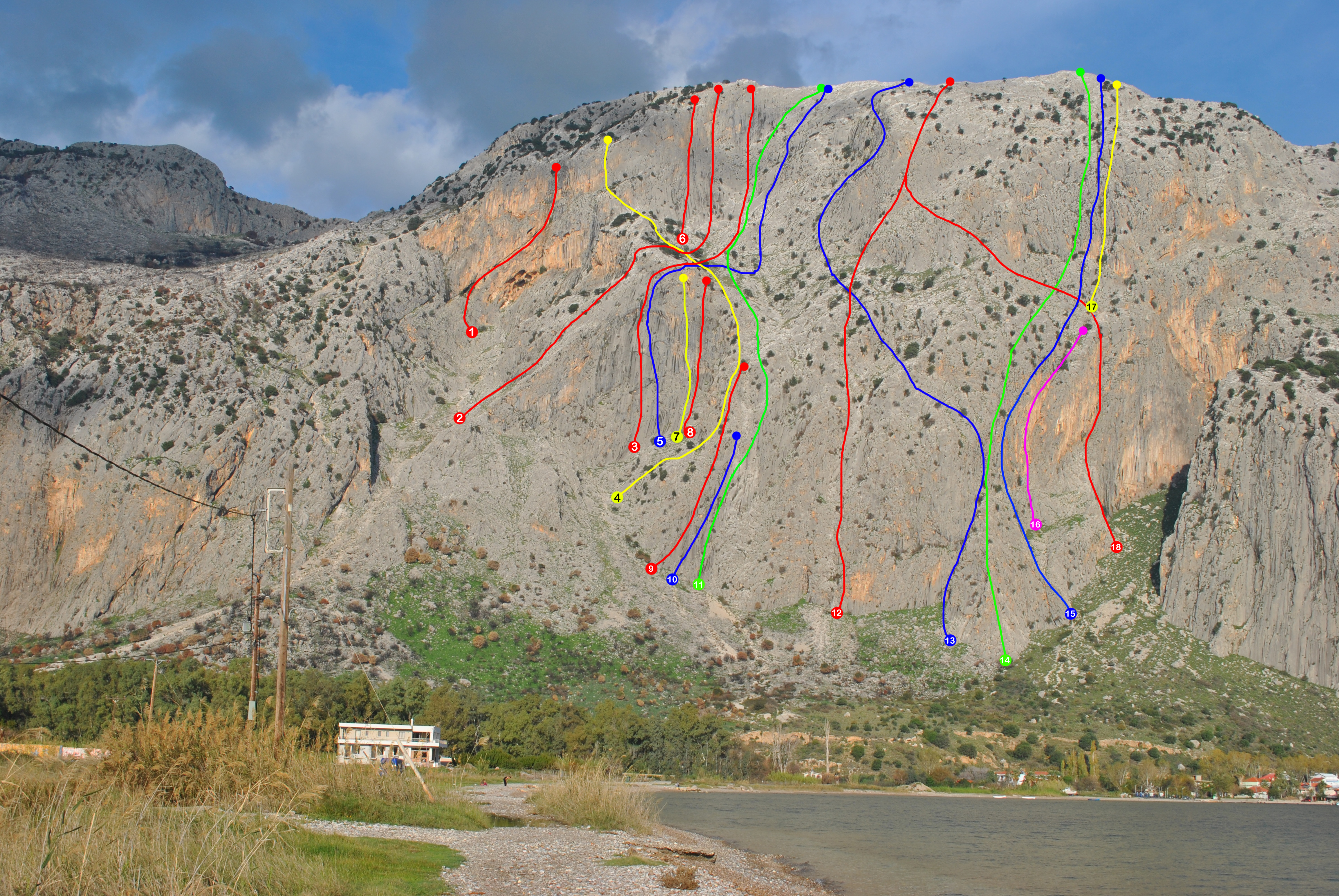
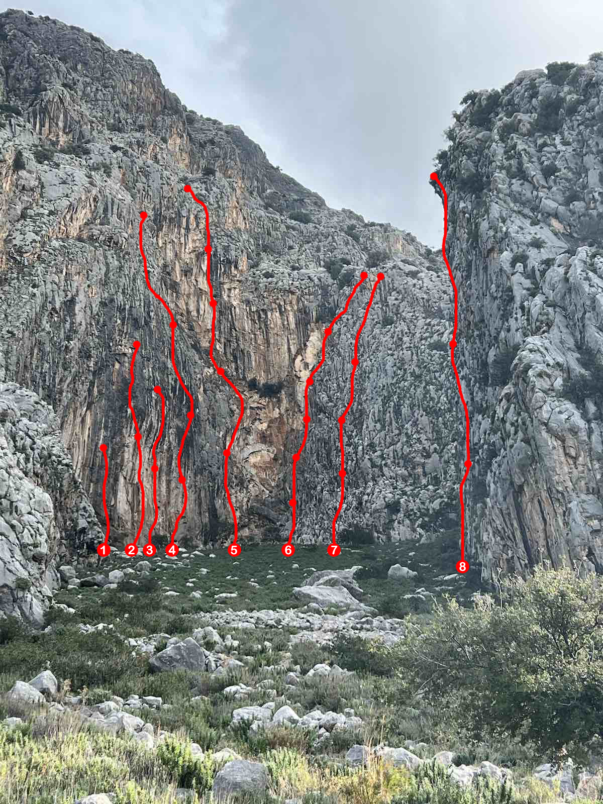
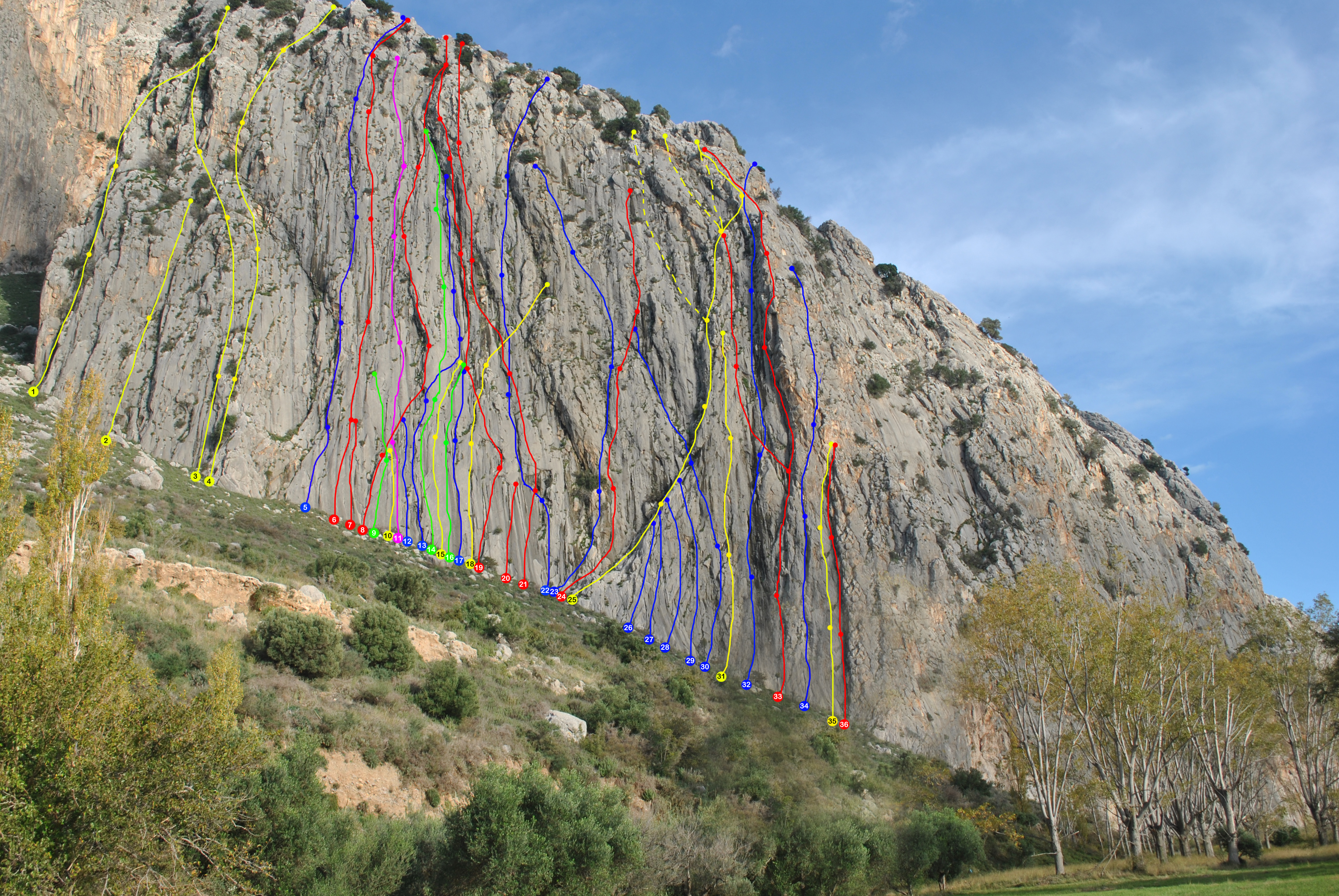
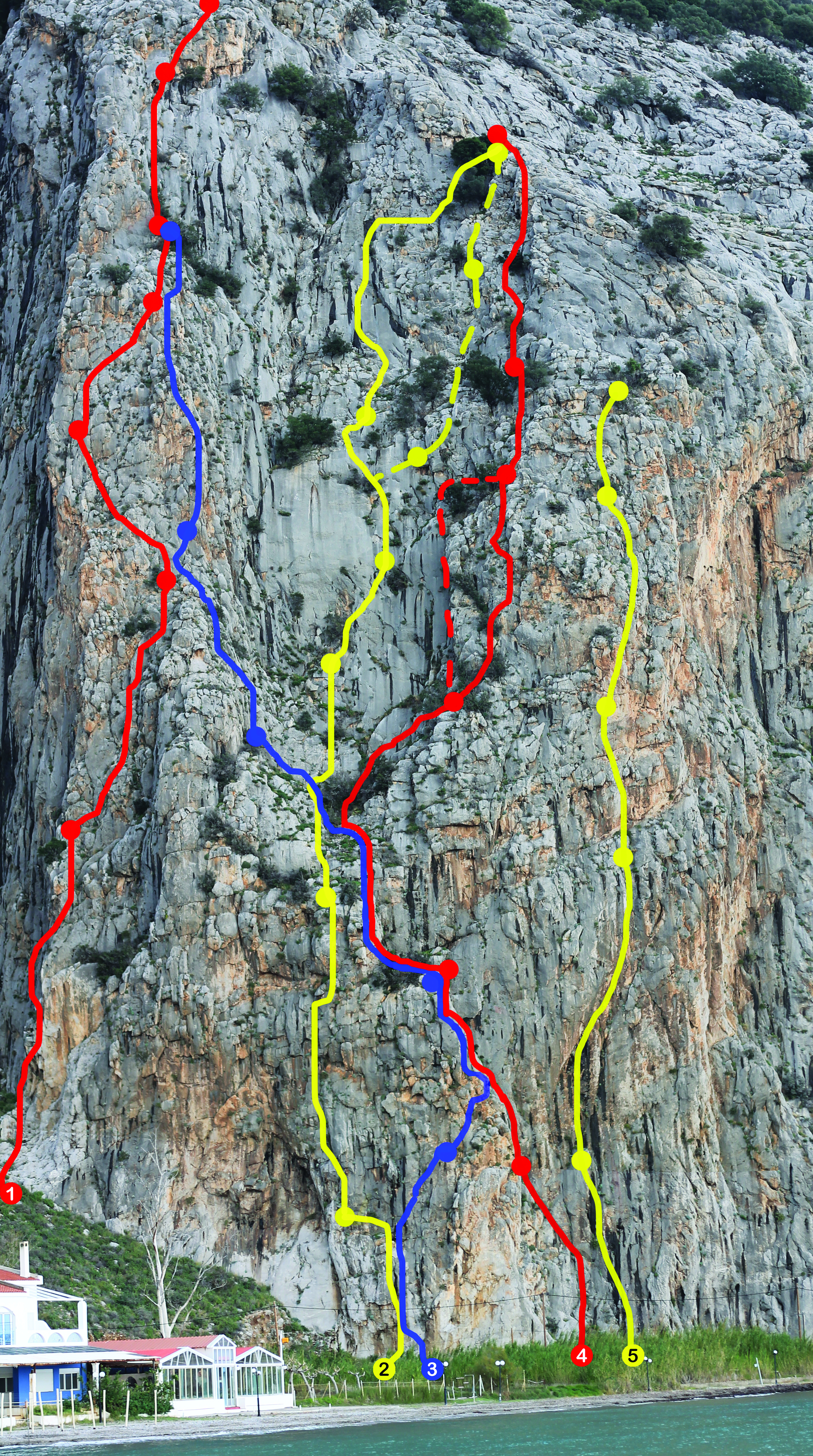
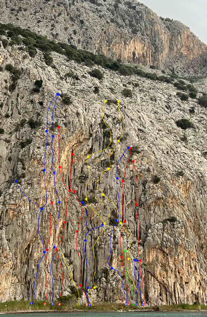
Varasova has been declared a site of historical and exceptional natural beauty. It is ideal for climbing and hiking, offering panoramic views of the Ionian Sea. Access to the climbing field is easy throughout the year and lies east of the settlement of Kryoneri, which is part of the community of Galatas in the Municipality of Nafpaktia. The coastal front of Kryoneri extends from Agios Nikolaos of Varasova to the “Kavourotrypa” beach and serves as a tourist resort with leisure facilities, restaurants, and rental accommodations. Kryoneri, as well as Kato Vasiliki, are famous for their organized beaches, which have been awarded the Blue Flag for several consecutive years.
Kryoneri is located 26 km from Nafpaktos, 15 km from Mesolongi — the capital of Aetolia-Acarnania — and 20 km from the Rio–Antirrio Bridge.